Bungarribee Park
2014
Location
Bungarribee, NSW
Client
Western Sydney Parklands Trust
Photography
Simon Wood Photography, JMDd, Landscape Solutions
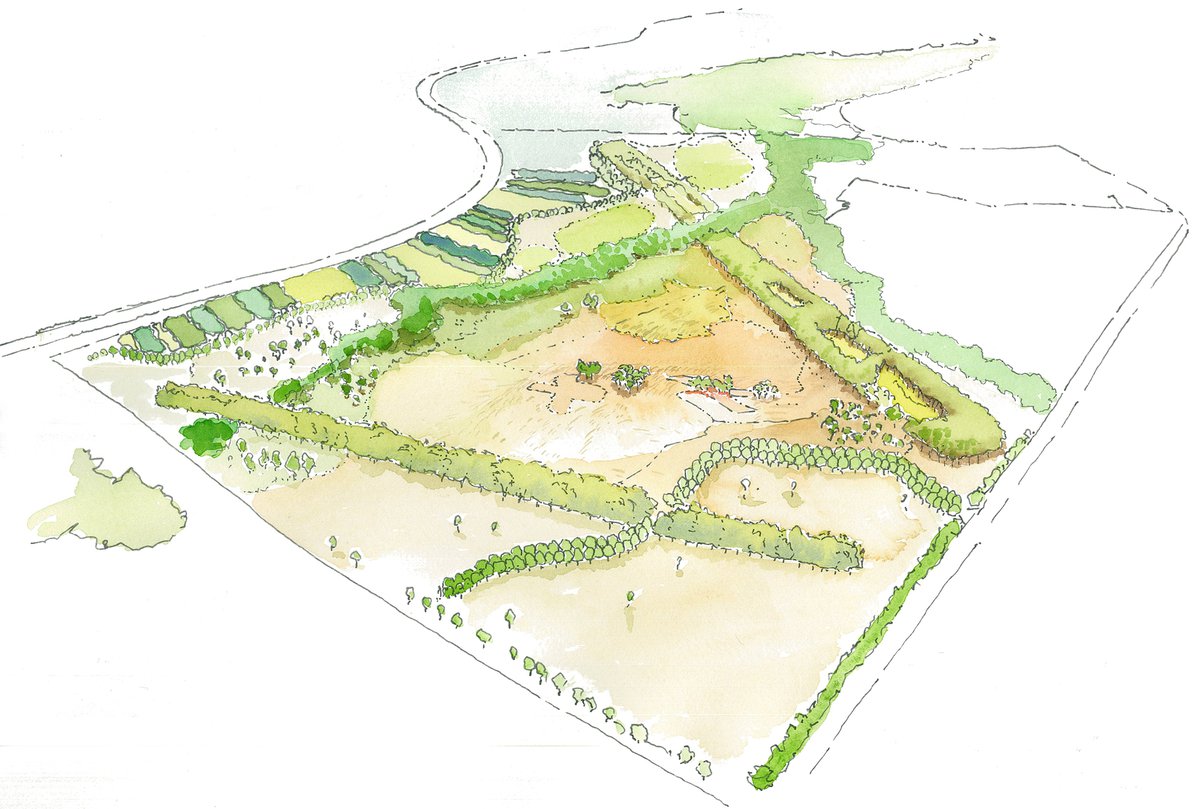
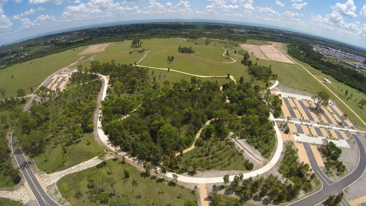
JMD design led a multidisciplinary team of engineers, architects, artists, heritage and community consultants to prepare a master plan for the future of the 250ha Bungarribee Precinct in Western Sydney, adjacent to the M7 and Great Western Highway in Doonside.
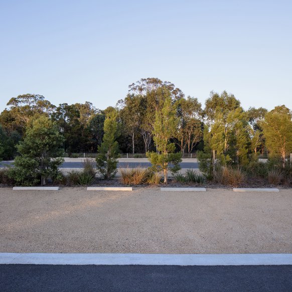
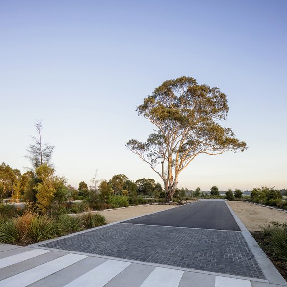
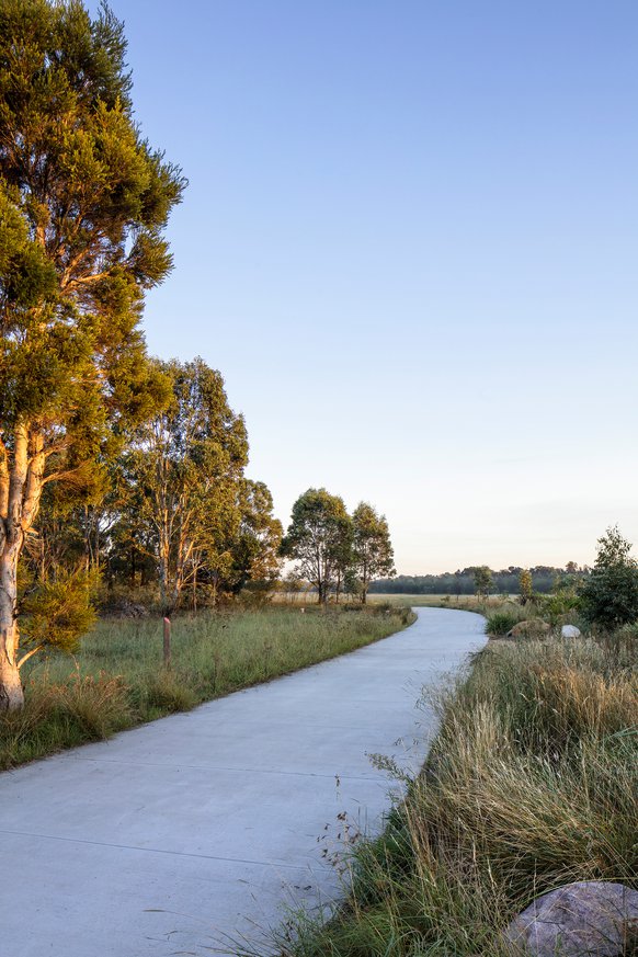
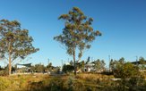
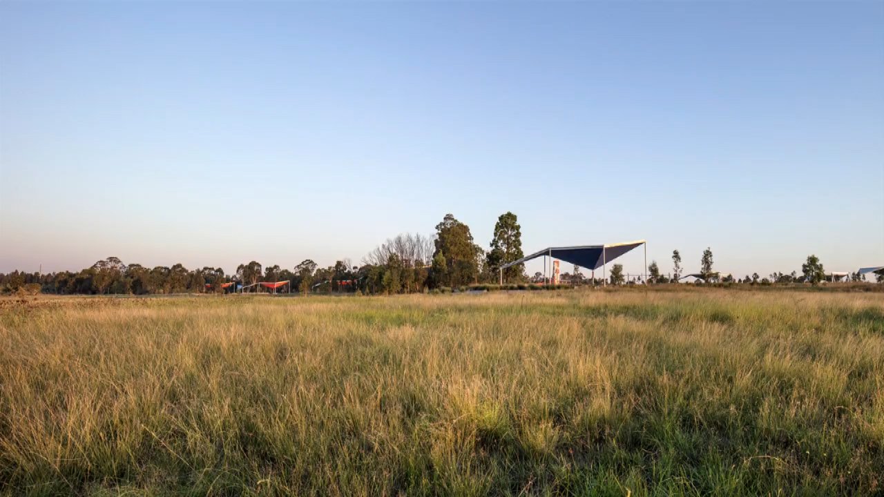
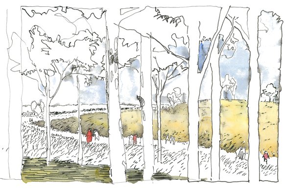
The design inserts program and circulation to preserve and heighten the unique site qualities of scale, sky and ecology. The masterplan provides for access around the park and organises activity to preserve the uniquely peaceful character at the centre of the park with its broad sweep of sky and flowing grassland.
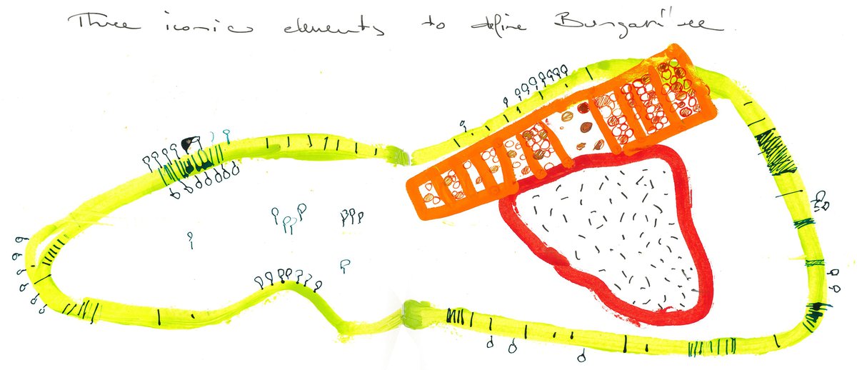
Three features define the vision for the masterplan:
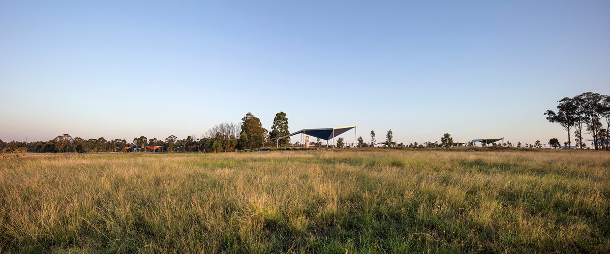
The ‘Heart’; Preserves the delicate ecology of the existing grasslands and wetlands at the centre of the site.
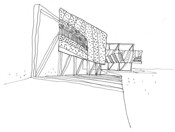
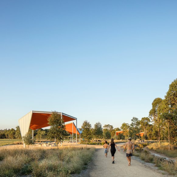
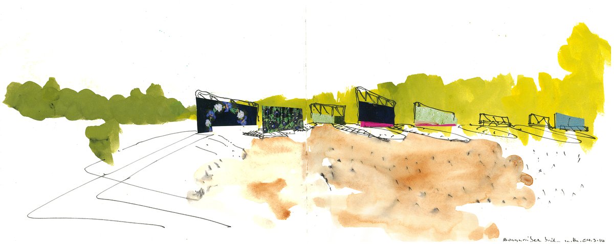
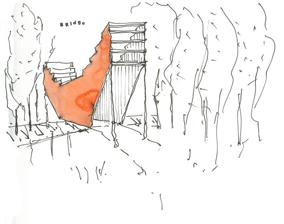
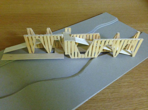
The ‘Loop’; sets up the structure for circulation and access to the site. It is kept to the edge and services carparks, amenities, the ranger station and picnic shelters. It is in part vehicular and more generally pedestrian. The Loop includes two bridges to cross Eastern Creek, the northern one, an elevated two level bridge and the southern one, a series of crossings and islands in the floodplain.
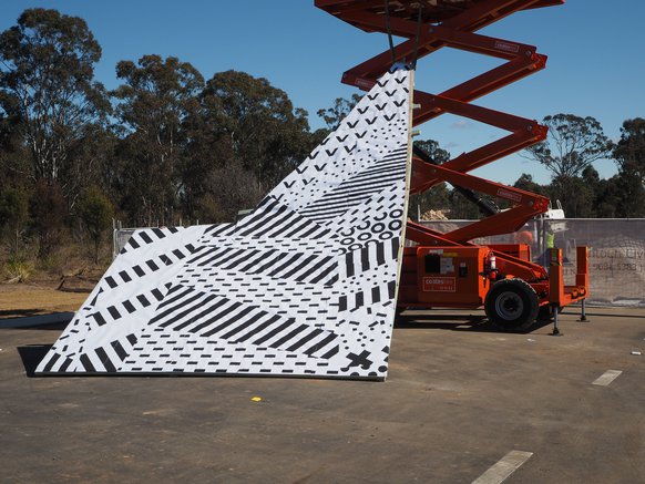
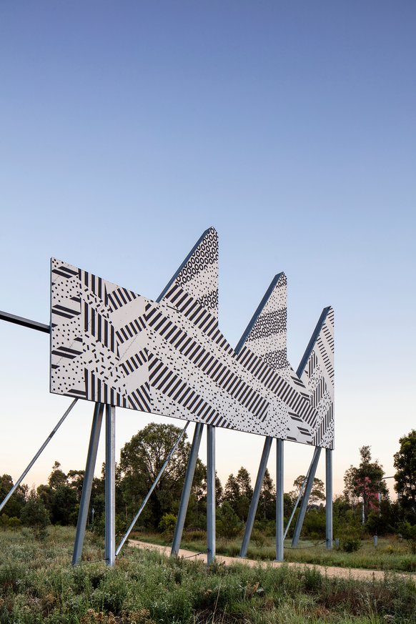
The ‘Redgum Runway, a thousand trees’; is a block of trees the length of the WW2 emergency runway that occupied the site. It creates a buffer to the Heart and becomes a shaded grove for activity and parking.The Redgum Runway also marks the park entry at Doonside Road where an arrangement of large steel frames bookend the Redgum Runway plantings.
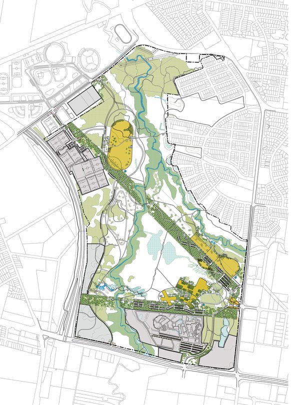
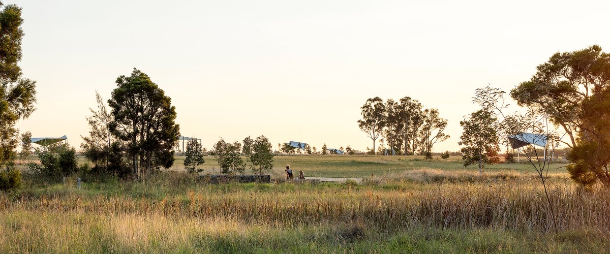
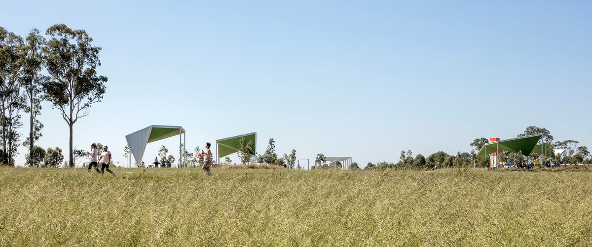
These three organising principles and values are reinforced by the Southern Greenbelt; a linear forest providing visual buffer to the new tourism and business hub and the ‘Community forest’ bordering the M7 Motorway is designed as an area for a productive landscape and buffer zone to provide an ongoing source of material for the Parklands. The masterplan provides a range of recreational facilities including a large playground on the high point, picnic shelters and amenities, car parking, a large lawn, informal picnic areas, walking trails, new sporting fields, bridges for crossing Eastern Creek and the two forests.
The masterplan also serves to guide the development of the Eastern Road Sports Precinct, immediately South of Blacktown International Sports Park.